|
| *****SWAAG_ID***** | 598 |
| Date Entered | 30/08/2012 |
| Updated on | 30/08/2012 |
| Recorded by | Will Swales |
| Category | Vernacular Record |
| Record Type | General HER |
| Site Access | Public Access Land |
| Record Date | 30/08/2012 |
| Location | Redmire Standard |
| Civil Parish | Grinton |
| Brit. National Grid | SE 039 951 |
| Altitude | 460m |
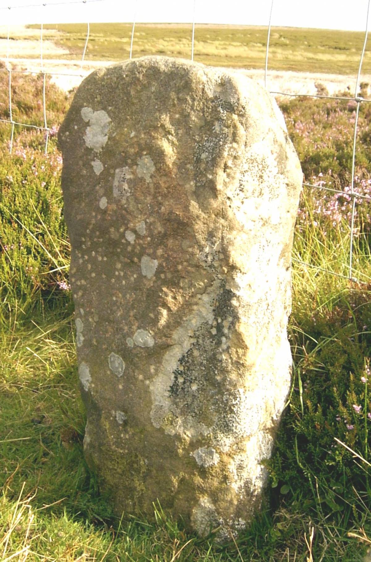
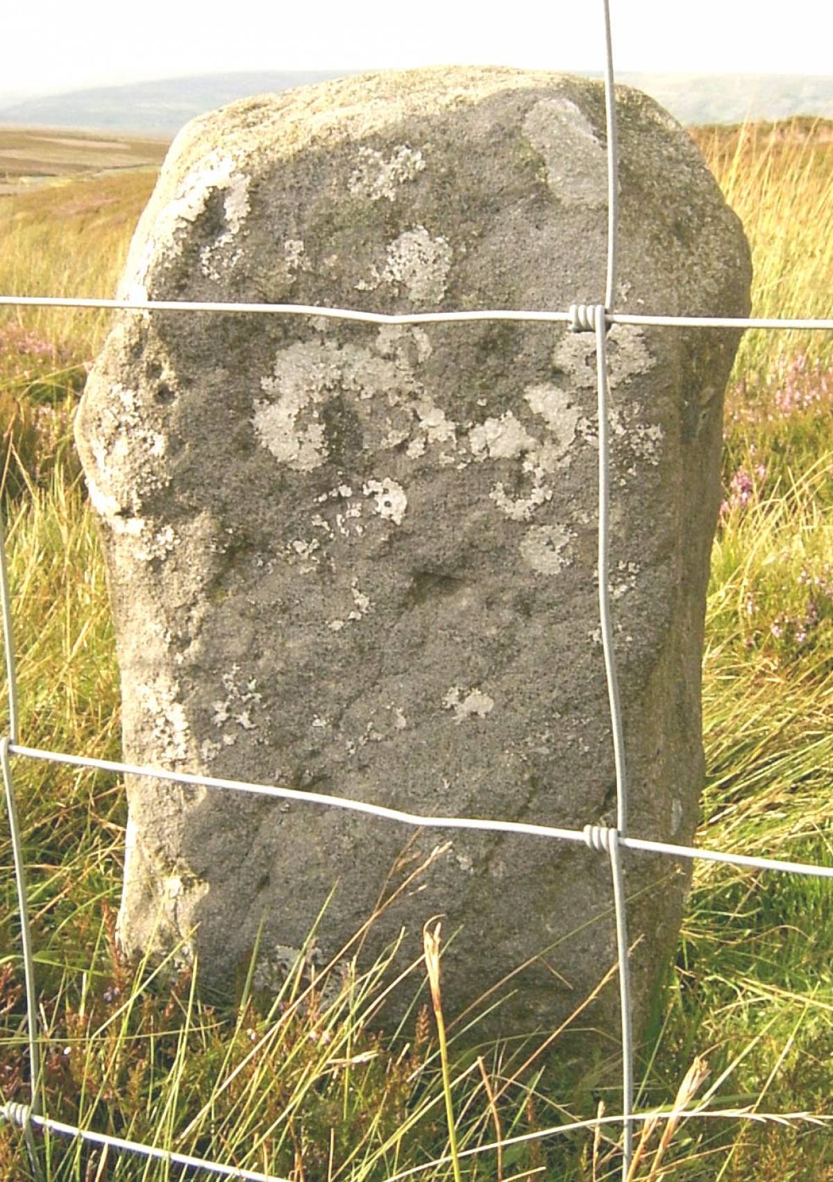
| Record Description | GRI-16 is boundary stone number 16 of the first 21 around Grinton Parish starting from Stolerston Stile and reaching as far as Gibbon Hill. It is by the cattle grid on the Grinton-Redmire road and is marked on the OS map as Redmire Standard. It has no inscriptions on any face. It might be the surviving stump of a much taller column or cross, or it might be a replacement for a more impressive structure that once stood on this site or close by. Does anyone know? |
| Image 1 ID | 3272 Click image to enlarge |
| Image 1 Description | Redmire Standard north face |  |
| Image 2 ID | 3273 Click image to enlarge |
| Image 2 Description | Redmire Standard south face |  |